Škrlatica and Dolkova špica
Trip overview
Škrlatica is the second highest summit in Julian Alps on Slovenian side of the border and sometimes this peak is referred with royal title of Queen. What exatcly takes to see her majesty? Demanding scramble and a bit of via-ferrata with great views.
The effort is significant and monotonous at the beginning. Once Bivak na Rušju shelter is reached the views are getting better. From there path goes right traversing grassy terrain and lowering a bit. It takes to the foot of long scree which is a bit of annoying to approach. Technically more demanding part starts at 2350m and requires to stay focused as the trail is poorly marked here (or maybe the terrain helps to lose the trail more easily). Traverse part with ribbed wall and securings which is the most demanding part of the way starts next. Once that is passed and the ridge is reached difficulties are rare. Watch for falling rocks in here though, the terrain is really crumbly. After another 40 min the peak is reached. It took me exactly 4 hours to get to the summit of Škrlatica from the start.
Return path goes the same way. From the crossing in long scree at the foot of south face of Škrlatica you can take the path to climb Dolkova špica as well. No difficulties on getting there. The descent path meanders a bit and goes in direction of Čez Bovški Križ pass.
Trip conditions
Weather:
Sunny and warm temperatures, up to 25 degrees in the valley
Trail:
Passable at all times, good enough marking of red color (typical alpine marking), secured in key moments. Strech of annoying scree starting at around 2250 meters and continues for 200 meters of ascent. A bit of crumbly terrain along the ridge starting at ~2500 meters of altitude.
Additional information
Tips and author's comments:
No potable water available on the way and one need to keep in mind that effort to get to Skrlatica only (1700m~ up) is quite significant so prepare a lot (in my case 3 liters of supply was over after I reached Bivak IV on Rušju on way back) - that was sunny and warm day.
The spring on the way was dry, I would not consider it as a spring by all means and don't count on this spring. There was water inside Bivak IV na Rušju prepared for tourists but not fit for instant drink.
Links:Supposed spring location
Dangers:
falling rocks, peak is quite popular so be aware of people above and below.
Gear used:
Helmet, ferrata set (this could be optional but advised - secured passage are really short), 20L rucksack, trekking poles
Transportation:
Vrata valley can be reached by car, you can drive almost as far as Aljazev dom. The road used to be a gravel one and pretty dusty but also cheap - 3 EUR in 2022. That's not the case anymore. For more detailed information please refer to a dedicated section linked below.
Accommodation:
Aljažev dom, Bivak IV na Rušju shelter - you need to have a sleeping bag and gear to disinfect/cook the water.
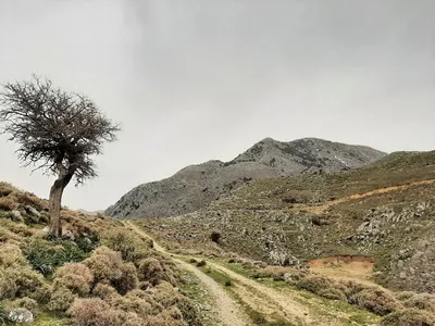
Trip photos
Other trips to check
Peak of Omanite
Hiking in White MountainsGreece
Azonas hill in Cretan countryside
Hiking in Cretan countrysideGreece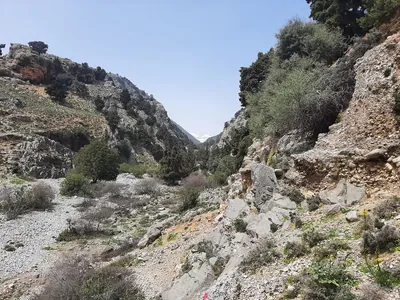
Down and up - Imbross gorge and Sfakian gorge
Hiking in White MountainsGreece