Storžič via Žrelo
Route scheme
Trip overview
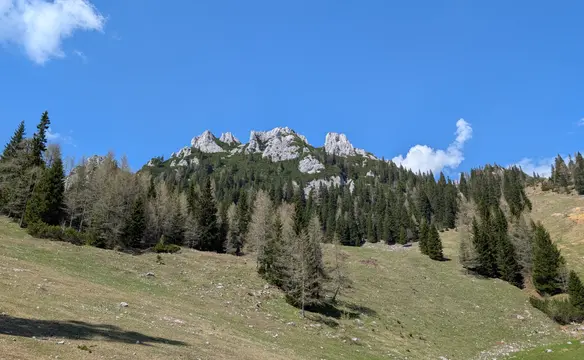
Storžič is the highest mountain in the western part of the Kamnik–Savinja Alps in Slovenia, reaching an elevation of 2,132 meters. The mountain is known for its distinctive conical shape helping it to dominate the nearby landscape and making it easy to recognize. It offers several popular hiking routes and also one easy via-ferrata via so called Žrelo. The word Žrelo means 'throat' or 'gullet' in Slovenian, reflecting the narrow and steep nature of the gorge. The trail through Žrelo is steep, rocky, and partially exposed, often requiring the use of fixed cables and metal steps for safety — making it somewhat via ferrata–like, though not an official ferrata.
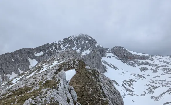
We set off from Dom pod Storžičem parking lot into southern direction up to a hiking signpost that will diverge the path into Žrelo direction and Škarjev rob direction (our descent path). We continue south and the terrain steepens gradually till we enter the mouth of Žrelo ravine. Now we scramble up - the usage of hands becomes quite common, especially due to wet rock. There are secured sections which help a lot not to slip down but the sramble could be also done without them. Since the ravine is quite steep we quickly gain elevation and land on Vrh Žrela saddle - 1842m where we join the normal route. From here path eases off and we have roughly 300m to the top of Storžič.
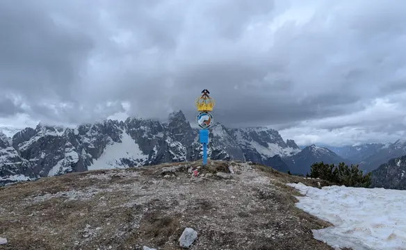
Storžič is a secluded mountain and therefore offers rich views in all directions (however I could not prove it myself due to weather conditions). On the southern slopes there are pastures for the goats/sheeps, luckily the peak itself is not part of them and the metal fence keeps these lovely animals and their crap away from the top.
Descent follows in northern direction through Škarjev rob. First 200 meters down are quite nasty due to brittle terrain. It's easy to slip down here and the terrain is a bit steep. Wearing a helmet here would be a good idea. The rest of the way is safe and easy one, especially in the forest with really pleasant path.
Trip conditions
Weather:
Cloudy with low hanging clouds starting at around 1.900 meters. Stuffy and humid with unpleasant wind on the peak, around 20 degrees in the valley.
Trail:
Trail marking is good enough, no orientation problems. Path is well-trodden and bears sign of frequent usage. In Žrelo we need to be a little aware of people below us due to some loose rock material. Protection is in satisfying condition. Descent in direction of Škarjev rob is far worse, with tons of brittle rock - more caution is advised in here. Luckily this section is not really long. Summit neighbourhood is heavily covered in sheep/goat manure - literally carpets of crap around.
Additional information
Tips and author's comments:
Found this path exceptionally pleasant, the path through Žrelo ravine follows pretty logic line, is not brittle and not overly steep. We also don't need to gain lots of elevation before we enter it. Also terrain above Žrelo is quite pleasant to hike. Really enjoyed it.
Dangers:
Some risk of falling stones in Žrelo, also wet rock along the via-ferrata.
Gear used:
20l rucksack, hiking poles, helmet
Transportation:
Reached the parking lot by Dom pod Storžičem hut using the car. The road is concrete as far as Grahovše settlement, above it - turns into a gravel one, road quality is good enough even for cars with lower suspension. If you are still unhappy with gravel road you can leave the car by the road - there are some opportunities for that and hike the rest up.
Links:Parking lot