Attavyros
Trip overview
Rhodes is not really popular for hers mountains and you can clearly tell that by amount of trekking trails in the island. But while some are busy with staying around the beaches a trip with mountainous character can add diversity to Rhodes visit.
Attavyros is the highest peak in the island of Rhodes and though it is not particularly high in altitude it offers mountain experience and interesting views, mostly on the side of the Aegan See.
Starting from Embonas parking lot there is a stretch of asphalt road to cover for about one kilometer. Next the path enters rural area and traverses vineyards. After some elevation gain it lands on the foor the gully that runs to the rocky threshold about 1100 meters high.
First it goes under some trees, then after entering fenced area it meanders around the gully (mostly on the left side) until altitude of around 950 meters where it turns right to cut through the rocky threshold in most approachable spot. The gully stretch is quite steep and crumbly, not really pleasant. After cutting through the ridge it eases off with steepnes and the terrain gets more pleasant to walk although the path is not really distinct and we need to keep an eye on the trail markings. After 150 meters of ascent the top is reached.
Main peak of Attavyros is not that attractive because of the radar facility that is installed there, better spot is on the neighbouring peak that is 400 meters to the south. There are ruins of Zeus temple and of monastery. Zeus temple was built there as it is presumably the only place on the island from which the Crete island can be spotted (which is the homeland for Zeus)
Return path goes the same way. Sadly I did not have enough time to check out the alternative descent, maybe that's a better option to descent (not so crumbly). Having some previous experience with Greek marked trails I decided it could be more time consuming and tricky to navigate another path down.
Trip conditions
Weather:
Moderate temperature at start (around 15 degrees), windy at the top with long sleeve required in spite of full sunlight. High clouds but decreased visibility.
Trail:
Reasonably well marked for the ascent, completely invisible for the descent (trail markings placed on the rocks only from the ascent perspective). Extreme crumbliness in the gully.
Additional information
Tips and author's comments:
Trail seemed desolate and not frequented that often. Expect to meet some folks at the top as it is reachable by car - which some the 'cool' bloggers recommend to do. Definitely expect to meet goats and sheep.
Links:Alternative descent path
Dangers:
Difficult to find the trail on descent yet the navigation is generally quite easy even if the path is lost as the path goes around main gully that stretches down to the foot of the mountain pointing at Embonas. Could be tricky with fog around but that probably never happens on Rhodes. There are some cairns but even too many and not pointing at the trail directly.
Both ascent and descent follow the same path but going down is a big challenge in terms of crumbliness, everything slips down and the rock is really sharp. Extra caution required on descent.
Gear used:
20L rucksack, trekking poles
Transportation:
Starting point reached by car. There are also some buses running to Embonas from Rhodes as it is the wine capital of the island.
Links:Parking location
Accommodation:
Closest would be in Embonas but staying in Rhodes so far away from the seaside is probably a rarity.
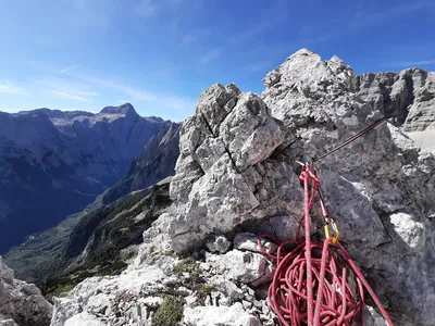
Trip photos
Other trips to check
Škrlatica via south ridge
Mountaineering/Scrambling in Julian AlpsSlovenia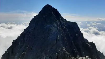
Gerlachovsky štít via Martin's route
Scrambling/Mountaineering in High TatrasSlovakia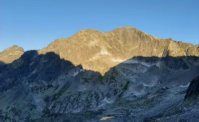
Ľadový štít by ridge via Široká veža and Maly Ľadový štít
Scrambling/Via Ferrata in High TatrasSlovakia