Sveti Ilija
Trip overview
Sveti Ilija, standing at 961 meters, is the highest peak on the Pelješac Peninsula in southern Croatia and was historically named Mons Vipera (Viper's Mountain) due to its population of horned vipers. Rising steeply above the coastal town of Orebić, the mountain offers one of the most spectacular 360-degree panoramic viewpoints in the entire Adriatic, overlooking the surrounding islands of Korčula, Hvar, and Mljet and Croatian continental inland. The rugged and rocky limestone terrain is a popular but also demanding hike.
This route is a proposal for crossing the mountain from the east (starting from Orebić) and descending to the west, ending in Kućište. The route is a mix of forest paths, rocky trails and limited ridge sections, offering a diverse and challenging experience. This variant is also the most ambitious with highest ascent on the way. Check out the alternative route if you are looking for the fastest and easiest way to the top.
Route description
Sveti Ilija from Urkunići (Orebić):
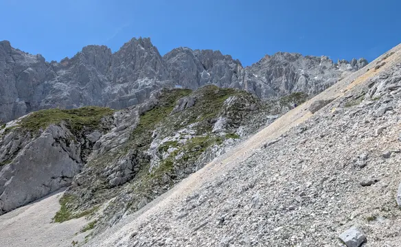
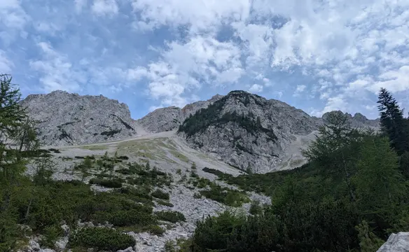
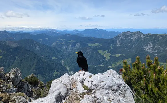
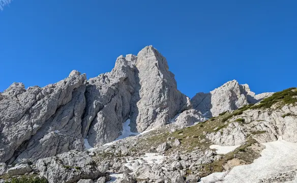
We set off from part of Orebić - Urkunići and take the marked trail. The path does not head into Sveti Ilija direction yet but first it circumnavigates the peak of Kabal (we won't be climbing it directly). So first, we are using a lightly ascending traverse on the southern slopes of Kabal with already great views on the town of Orebić and Korčula island. This part is fully exposed to the (morning) sun. After about 1.5km the path is changing direction into the west and also becomes more steep and challenging. In the upper parts we can count on a bit of shade in not very dense forest. We cross the rocky part under the peak of Sveti Ilija but the path does not run to the top here yet. Now we descend a bit to a karst field covered in trees and then approach mountain hut "Planinarski dom Sveti Ilija" - although during my visit it was closed. From here the path gets even more rugged and after maybe 20 minutes of rocky climb we land on the top of Sveti Ilija - the highest peak of Pelješac peninsula. The views from the top are truly spectacular and on a clear day you can see all the way to Italy. To get more views we continue along the ridge to the east - there is a viewpoint at the end of the ridge. A bit of surefootedness is needed here as the path gets partly exposed at times.
Sveti Ilija - descent to Kućište:
From the top of Sveti Ilija we return to the mountain hut using the marked trail (same we used to get to the top). Now, we take the trail in the western direction to Nakovanj village. After approximately 1.5km of descent in the forest, we reach a hiking signpost and we head south now, in the direction of Orebić. On the next branch off, we head west again and begin to descend more steeply in the direction of Kućište. We will be crossing the peak of Ljute on the way, then Sv. Luncijata church. The path will take us to the main road and we can descend further to Kućište (have a happy sea bathing!).
Sveti Ilija - easiest approach:
This variant starts from the parking lot next to the convent building (might be busy on Sundays). There is not that much of an ascent in here (800m) but we get a less steep path and we do not need to desend at all. However, this variant is a bit longer and will take maybe 15minutes more to walk than the main one.
Trip conditions
Weather:
Started in short sleeve and it was enough till top as long as I was moving. Second layer needed on the top and on the ridge during resting. March sun was a nice friend, not a deadly enemy.
Trail:
Trail is well marked and trodden all the way up and down, no issues with navigation or crossing it.
Additional information
Tips and author's comments:
From the bottom it does not seem like it but the views from the top are truly spectacular and will surprise even accomplished mountaineers.
Dangers:
There are no objective dangers on the way. We only need to be mindful about our steps due to vipers that are native to this area.
Gear used:
20l rucksack - Thule Stir 20l, hiking poles, approach shoes
Transportation:
Starting point reached on foot from Orebić where I was staying. There is however a small parking lot at the start of the trail in Urkunići.
Accommodation:
I stayed in an airbnb apartment, however I cannot recommend it.
Provisions:
There are no water sources available on the way therefore you need to have sufficient supply on the start.