Vojak
Trip overview
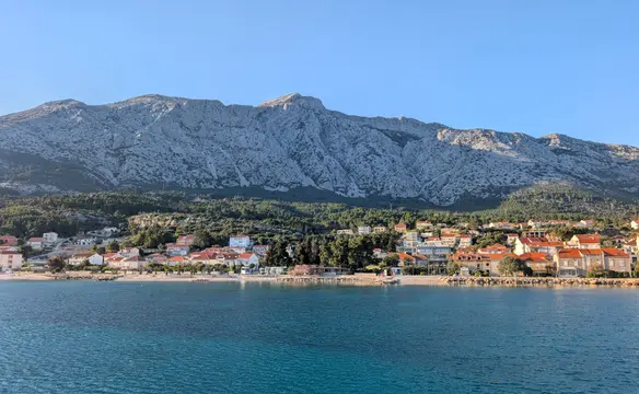
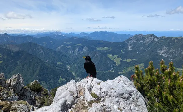
Vojak is the highest peak of the Učka mountain range and the entire Istrian peninsula in Croatia, standing at an elevation of 1.396 meters. At its summit, a historic stone observation tower built in 1911 offers 360-degree panoramic views of the Istrian coast, the Kvarner Gulf, and even mountain ranges in the Alps like the Karawanks and Julian Alps. The area lies entirely within the protected boundaries of the Učka Nature Park. The peak is also accessible by car; a parking lot lies just north of the summit. Because of that, the mountainous experience is somewhat diminished, but the views are still worth it. The hike itself is, however, solitary and rewarding. There are many route variants to the top of Vojak peak starting from the greater area of Lovran. The one from Lovranska Draga seemed to be one of the shortest but still with substantial altitude gain, making the trip worthwhile.
Route description
Vojak from Lovranska Draga:
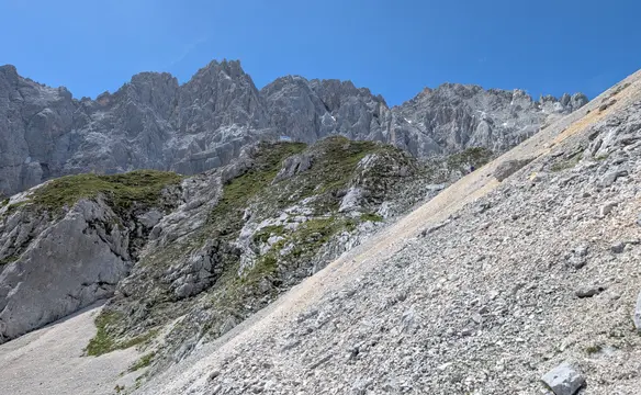
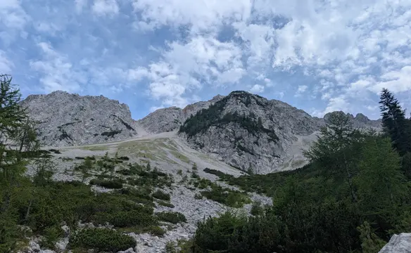
We set off from the parking lot in Lovranska Draga, cross the street and find the trail dot on the stairs heading up. We cross a couple of gardens and behind a boule pitch, we finally enter the path in the forest (a shortcut can be taken here). We follow the trail further up; on each of the crossroads, we pick the trail leading to Vojak. Through a beech forest and an easy incline up, we pass the Lazi site with a mountain hut and pasture below the Tisva water spring. Around 1.050 meters, the terrain gets steeper and won't ease off up to the Vrata pass at 1.220 meters. Now we cross the Veli dol karst field and enter Sedlo pass on the main ridge of Učka (a table and benches to sit are available). From here it's a short climb to the peak of Vojak. That's also the most interesting part because we leave the forest and can enjoy the views (and full sun). The final climb is a flight of stairs to the top of the stone tower built on top of the Vojak mountain, where we can learn about the area that can be observed from there.
Vojak - descent to Lovranska Draga:
The descent is via the same route. The trip can be extended by visiting Suhi Vrh (1.335 m) and Plašćenica peaks and then descending to Vrata pass. It's really worth visiting because the views of the Kvarner Gulf are better from here. The detour will add another 100 m of elevation gain and maybe 30-45 minutes to the trip. From Vrata pass, the route is the same as the one we took to ascend.
Trip conditions
Weather:
Sunny and humid day, 27 degrees in the morning when leaving the car. Short sleeves all the way up and down. A bit chillier on the top with gusts of less humid air.
Trail:
The whole route is marked and well maintained - actually, during my hike, there were crews from the Croatian Hiking Association that were renewing the markings. There are no exposed sections.
Additional information
Tips and author's comments:
This trip can be recommended on stuffy summer days because it mostly runs under trees covering us from the sun. Additionally - around 1.000 meters of altitude, the humid maritime air gives way to cooler mountain air coming from the continent. The difference is really noticeable, especially if compared with coastal air in Lovran, for example.
Dangers:
The approach to Vrata saddle is steep and if covered in tree leaves, it might be prone to slipping. At lower altitudes, watch out for vipers in sunny passages.
Gear used:
approach shoes, 20l rucksack - Thule Stir 20l
Transportation:
Starting point reached by car. A parking lot in Lovranska Draga will be sufficient for 4 cars. It's free of charge and will likely be empty in the morning hours.
Links:Parking lot location
Accommodation:
I stayed in airbnb apartment while being in the neighbourhood. Personally not the best one however the availability did it's job.
Links:Apartment Jelena